 Incorporated Research Institutions for Seismology
Incorporated Research Institutions for Seismology
Incorporated Research Institutions for Seismology
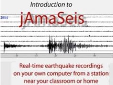

The jAmaSeis program allows you to see realtime seismograms on a Mac or PC for both well known seismic stations and even your own in-class seismometer, or both.


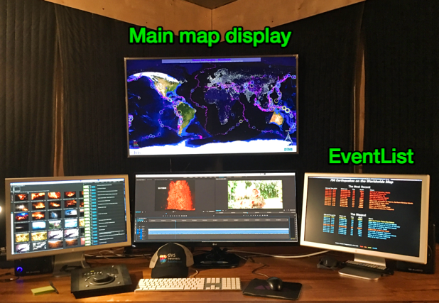
Earthquake Channel is large-screen software that brings real-time seismology information to the public. The main screen shows maps while a secondary screen lists earthquakes.
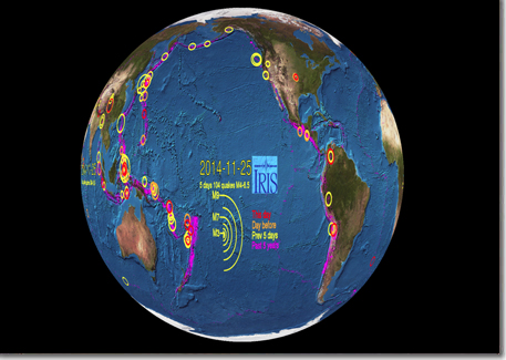

Earthquake location world map images formatted for video globe displays (i.e. Science on a Sphere, Magic Planet, Omniglobe). Images are updated every 4 hours.

Let IRIS help you design your next earth science exhibit.
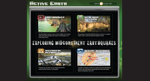

The Active Earth Display is an interactive display for small museums, visitor center, schools, etc. Originally for standing kiosk use it is touch-friendly though mainly designed for 1280x1024. Retired as of May, 2017 . A catalog of content pages can be perused here .

Instructions for how to design a display that allows visitors to jump and watch their "earthquake" be recorded by a seismometer.